The profession of conducting reliable surveys for its clients
Geomarketing Studies

These studies combine social indicators within a given geographical area with competitive data.
Sales Outlet Census - The Trade Census
This involves counting specific sales outlets within a given geographical area. It helps update data regarding their locations, infrastructures, products sold, suppliers used, etc.
Fieldwork is conducted according to general census procedures: maps of all governorates, cities, and towns with clear street indications, as shown in the following diagram:
-
The El Amouri Institute has developed a comprehensive map of the entire territory. These maps are digitised and organised by governorate, delegation, and locality.
-
Information is collected using connected tablets. GPS coordinates are systematically recorded for each point of sale. A photo of the façade is also taken.
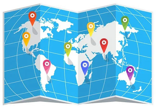
The collected information is sent to a map (Google Maps) with secure, exclusive access. The points are marked with distinctive flags, displaying the desired information as well as the photos taken.
-
A dedicated control team (both back office and field teams) will verify each GPS point recorded and sent to the map, along with all the information collected, on the following day (day+1).
Trading Area
This study measures the commercial potential of a given area as well as its extent, by studying factors such as competition, surrounding population, and their social level, etc.

